
Hema Map Yarra Valley to West Gippsland
Quantity
Detail
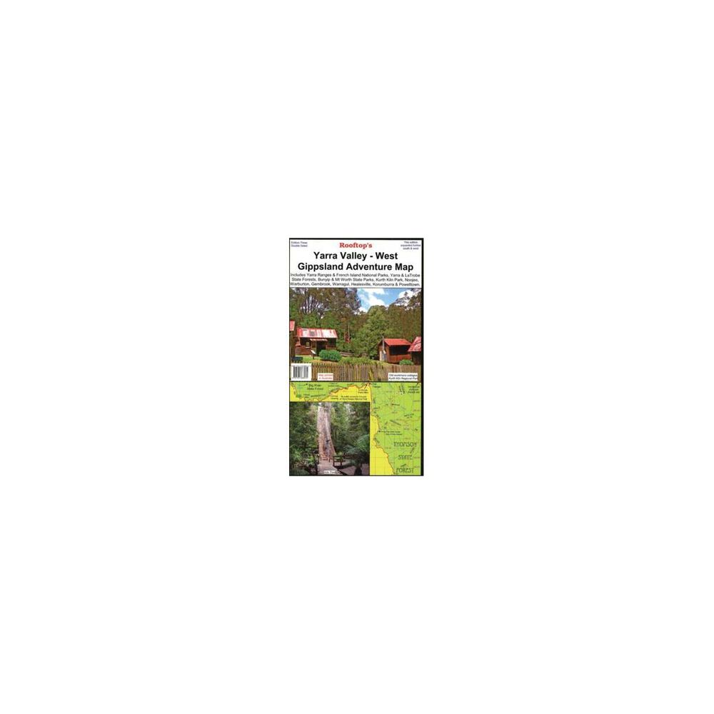
Ideal for motor biking, bush camping and four-wheel driving, this double-sided map includes Yarra Ranges National Park, Bunyip and Mt Worth State Parks, Kurth Kiln Park, Yarra, La Trobe and Toolangi State Forests, as well as Pakenham, Warburton, Noojee, Marysville, Neerim South, Drouin, Gembrook, Warragul, Healesville and Powellton, with the reverse covering from Gembrook to Noojee, complete with forest activity information.
Features
- Folded dimensions: H25.5cm x W14cm
- Unfolded dimensions: H101cm x W70cm
- Best scale: 1:100000
Customer Reviews
SEE ALL
You May Also Like
80%
OFF
Hema Map Yarra Valley to West Gippsland
AU$ 2.99
AU$ 14.95
80%
OFF
Hema Map Yarra Valley to West Gippsland
AU$ 2.99
AU$ 14.95
80%
OFF
Hema Map Yarra Valley to West Gippsland
AU$ 2.99
AU$ 14.95
80%
OFF
Hema Map Yarra Valley to West Gippsland
AU$ 2.99
AU$ 14.95
80%
OFF
Hema Map Yarra Valley to West Gippsland
AU$ 2.99
AU$ 14.95
80%
OFF
Hema Map Yarra Valley to West Gippsland
AU$ 2.99
AU$ 14.95
80%
OFF
Hema Map Yarra Valley to West Gippsland
AU$ 2.99
AU$ 14.95
80%
OFF
Hema Map Yarra Valley to West Gippsland
AU$ 2.99
AU$ 14.95